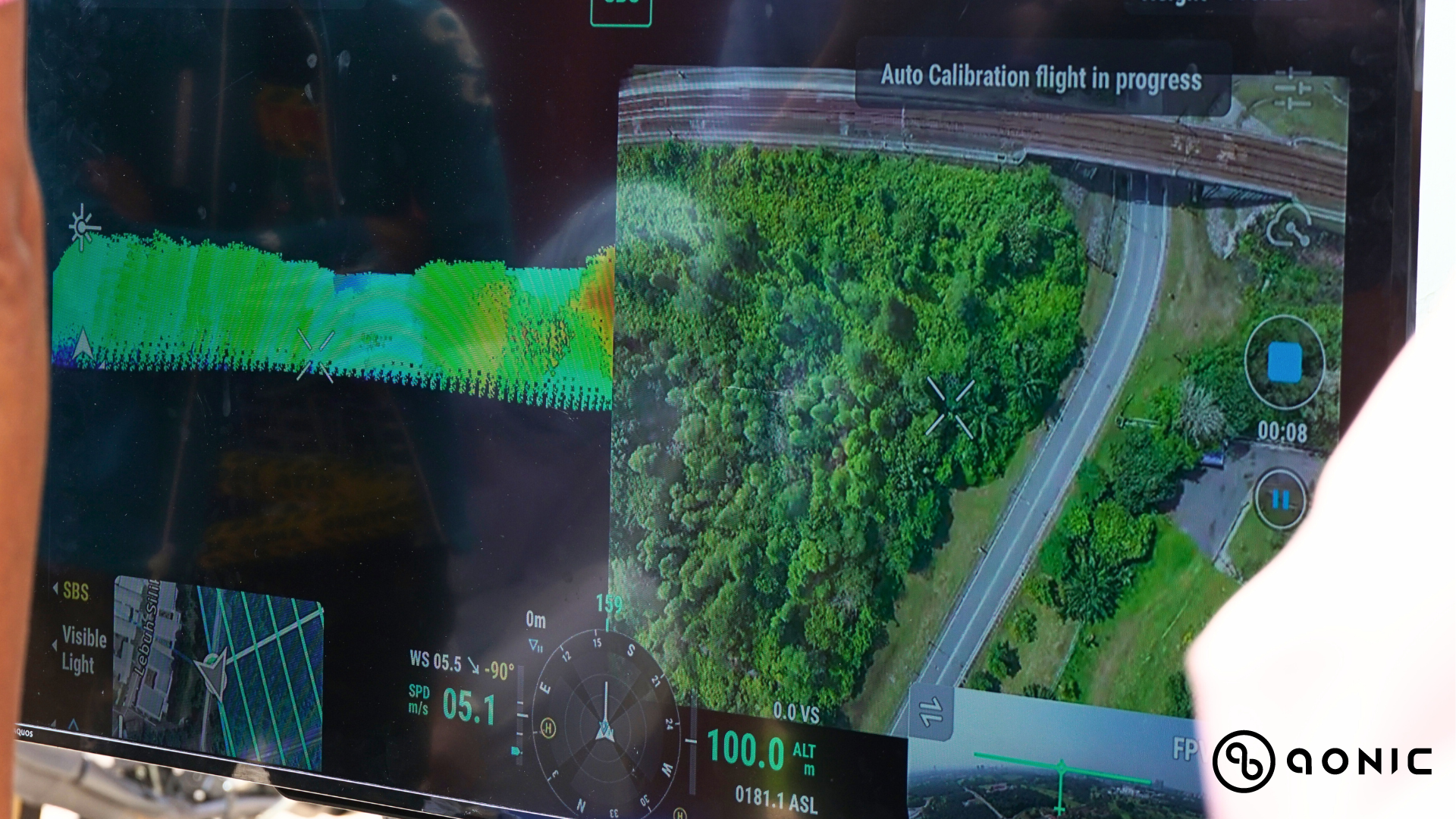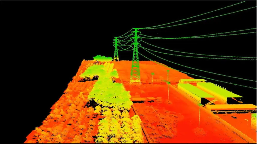

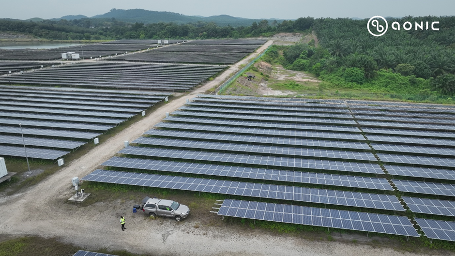
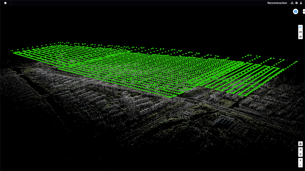
DJI Zenmuse H30T Solutions In Solar Farm Inspection & Surveillance
Solar farms play a crucial role in advancing renewable energy and reducing our dependence on fossil fuels. With their continuous operation, producing power 24/7, they carry a significant responsibility. These solar farms are essential in providing electricity to various facilities, including homes, ...
Application
By Afif Amali


-1.jpeg)