

In the dynamic landscape of technological innovation, drones have emerged as game-changers across various industries. From agriculture to emergency services, these Unmanned Aerial Vehicles (UAVs) are proving to be versatile solutions to multifaceted challenges. In this article, we will explore in-depth how drone solutions are reshaping industries and providing unprecedented benefits.
How Drone Solutions are Reshaping Industries
Agricultural Precision: Optimizing Crop Management
Real-time Data Acquisition
Drones equipped with advanced sensors enable farmers to access real-time data on crop health, facilitating informed decisions regarding irrigation, fertilization, and pest control.
Precision Agriculture
The precise application of resources based on drone-generated data leads to increased crop yields, reduced environmental impact, and improved overall efficiency in farming practices.
Cost-effective Solutions
By optimizing resource allocation, farmers can cut costs and improve the sustainability of their operations, making drone solutions an essential tools in modern agriculture.
Infrastructure Inspection: Redefining Safety Standards with Aerial Precision
Agile Navigation
Drones, with their unparalleled agility, navigate challenging environments, reducing risks for human inspectors and expanding the scope of infrastructure inspection.
Detailed Imaging for Maintenance
Equipped with high-resolution cameras, drones capture detailed images, providing accurate data for infrastructure maintenance and minimizing downtime.
Enhanced Safety Protocols
The integration of drones in infrastructure inspection enhances safety protocols by reducing the need for human presence in hazardous locations.
Search and Rescue Operations: Swift Responses and Precision in Critical Situations
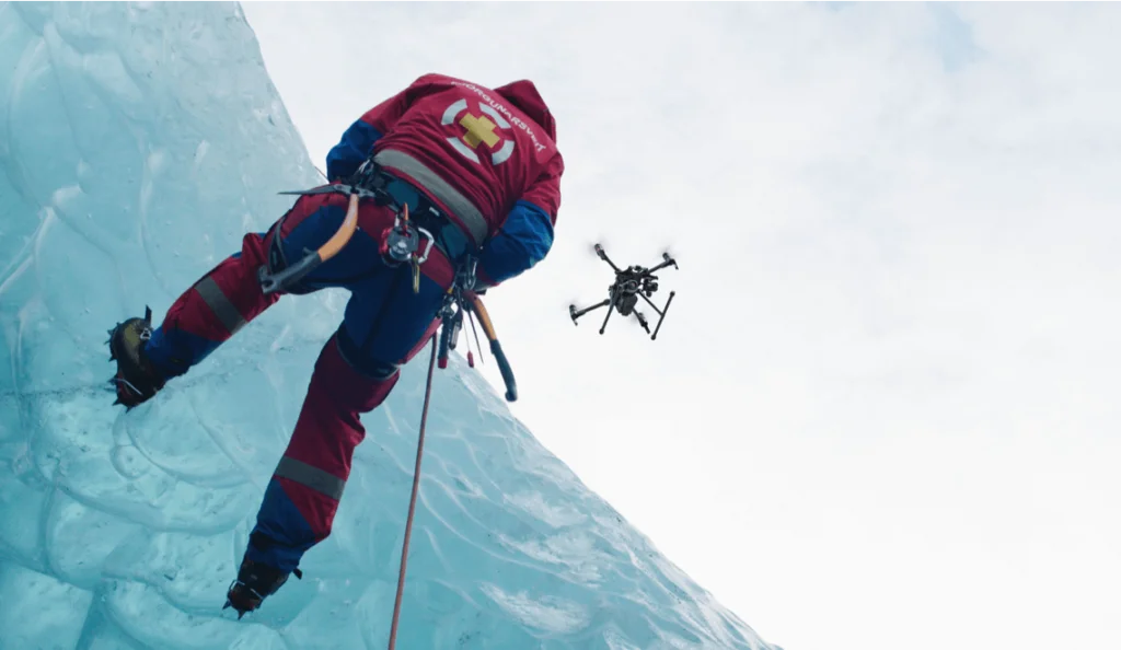
Rapid Deployment Capabilities
Drones, with their swift deployment capabilities, significantly reduce response times, offering a vital edge in time-sensitive search and rescue operations.
Thermal Imaging for Precision
The inclusion of thermal imaging capabilities in drones enhances precision in locating missing persons, especially in challenging terrains.
Coordination with Ground Teams
Drone act as force multipliers, providing critical information to ground teams and facilitating a more organized and efficient response.
Environmental Monitoring: Precision Conservation and Protection Efforts
Wildlife Tracking and Conservation
Specialized sensors in drones aid in tracking wildlife movements, contributing to wildlife conservation efforts and protecting endangered species.
Deforestation Prevention
Drones play a crucial role in monitoring deforestation, raising awareness, and enforcing conservation measures for sustainable forestry practices.
Pollution Assessment
Equipped with air and water quality sensors, drones provide accurate data for assessing pollution levels, aiding environmental agencies in implementing effective mitigation strategies.
Construction and Surveying: Enhancing Project Efficiency and Documentation
Topographic Data Precision
Drones streamline surveying by capturing detailed topographic data, ensuring precision in project planning and execution.
Ongoing Project Monitoring
Continuous monitoring of construction projects by drones enhances project management, enabling early identification of issues and ensuring timely corrective measures.
Comprehensive Documentation
Drones contribute to comprehensive project documentation, reducing paperwork and ensuring accurate records for regulatory compliance.
Conclusion
In conclusion, as industries worldwide continue to embrace the capabilities of drones, the integration of drone technology is ushering in a transformative era marked by enhanced efficiency, safety, and sustainability. The possibilities are boundless, and the sky is not the limit but a canvas waiting to be explored and harnessed for the betterment of society.
Comments